
Drones Over Mtandire: Privacy Intrusion or the Future of Public Health?
Imagine looking up to see a drone hovering 200 meters directly over your roof. Is it an invasion of privacy? Unauthorized government surveillance? Or is it something far more revolutionary, the ultimate tool for community survival against climate-driven infectious diseases?
For generations, traditional public health has relied on a top-down model. External experts arrive, make observations, and impose solutions. But top-down approaches are failing. External agencies cannot solve local health crises without the people who live through them every single day. Without citizen-generated data, mapping efforts remain incomplete, and solutions miss the mark.
Challenging the Status Quo in Mtandire
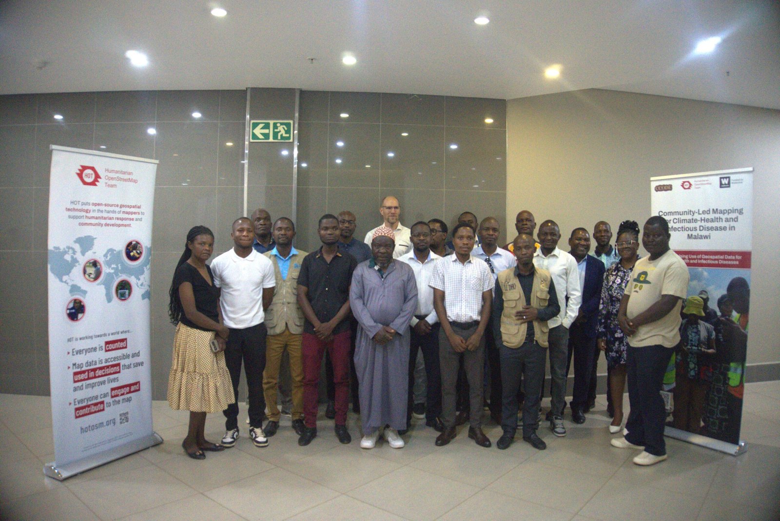
Under the banner of Citizen Data for Climate-Health and Infectious Disease Action in Malawi, a bold new paradigm is emerging. The initiative Revolutionising the Use of Geospatial Data for Climate-Health and Infectious Diseases brings together 28 participants who took part in the workshop held on October 12, 2026, uniting community representatives, CCODE, the Humanitarian OpenStreetMap Team (HOT), OpenStreetMap Malawi, the Lilongwe City Council, and local Health Surveillance Assistants.
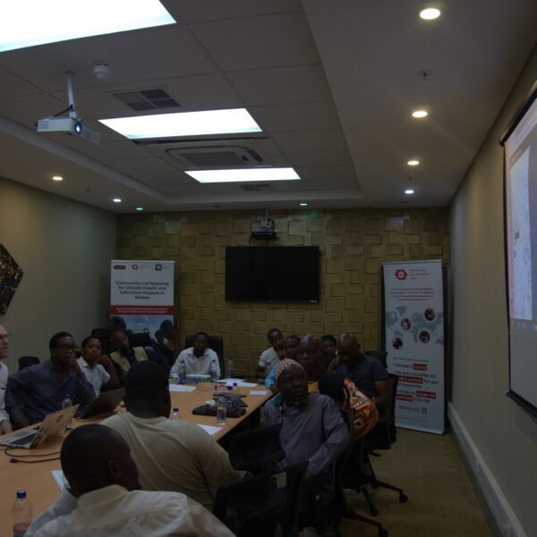
Participants during a presentation by Humanitarian OpenStreetMap Team
Instead of viewing technology with suspicion, the Mtandire community is taking control. High-resolution spatial mapping directly targets the root causes of disease: poor sanitation, standing water, and severe flooding risks. When severe weather hits, local knowledge combined with precise geospatial data turns raw mapping into life-saving evidence.
Youth at the Controls: The Story of Samuel Shumba
At the heart of this movement are community participants who refuse to be passive victims of climate disasters. Take Samuel Shumba, a youth from Mtandire trained in drone piloting and digital spatial data collection.
At the heart of this movement are local young people who refuse to be passive victims of climate disasters. Take Samuel Shumba, a youth from Mtandire trained in drone piloting and digital spatial data collection.

Shumba contributing in the workshop
“Participating in community-led mapping was a vital learning experience,” Samuel reflects. “The initiative demonstrated how communities can actively collect and use data to identify local challenges like poor sanitation, flooding, and disease risks. Active youth involvement is essential to driving evidence-based solutions, fostering project sustainability, and supporting climate resilience.”
Samuel and his peers are proving that young people understand their neighborhoods best. By leading data collection and navigating spatial tools, they bridge the gap between community needs and policy decisions.
From Local Knowledge to Life-Saving Action
The drones above Mtandire aren’t watching residents, they are working for them. Meaningful community participation turns local ground truths into decisive action. As Malawi confronts increasing climate and health challenges, empowering citizens with spatial technology isn’t just an option it is the future of public health.

