
From Data Subjects to Data Owners: M’gona Puts Community Knowledge at the Centre
Data is often collected, analysed and interpreted in offices before being brought back to the communities it is meant to represent. Too often, communities are expected to accept this information as fact, even when it does not reflect their lived realities.
In Mgona, Lilongwe, a different approach is taking shape.
Through the project “Accelerating Locally Led Responses to Climate Change in Informal Settlements and Slums” (ALLRCISS), communities are not simply recipients of data they are becoming active participants in creating, understanding and using it.
Implemented by the Centre for Community Organisation and Development (CCODE), the project is placing community knowledge at the centre of climate resilience planning. From updating Mgona’s socio-economic profile to identifying and marking the settlement’s perimeter boundaries, residents are being involved in the process of building the data that will inform decisions about their community.
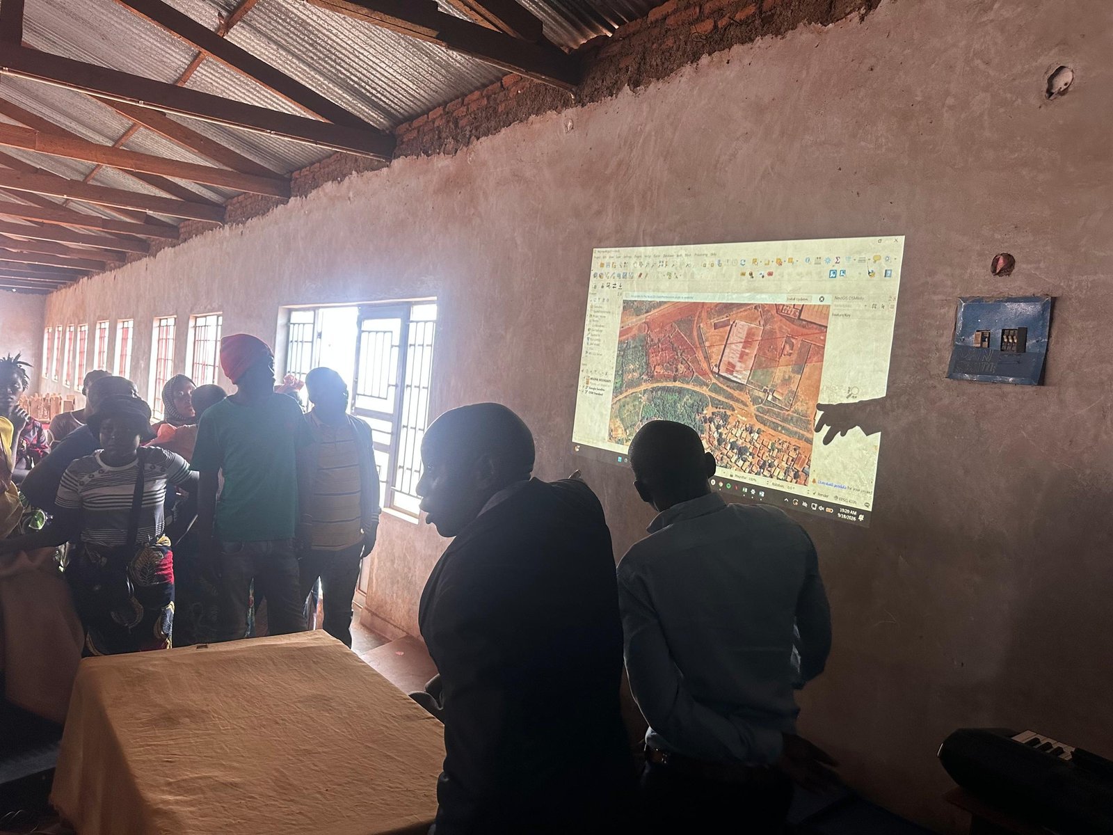
This approach was evident during a community meeting convened to demarcate Mgona’s perimeter boundaries ahead of drone mapping activities. The exercise brought residents, local leaders and stakeholders together to physically identify the boundaries of the settlement, creating a shared understanding of the area that will be mapped.
The drone images generated through the mapping exercise will provide valuable information to support planning and efforts to make Mgona a more resilient community. But beyond the technology, the process represents something bigger: putting communities in the driver’s seat of decisions that affect their lives.
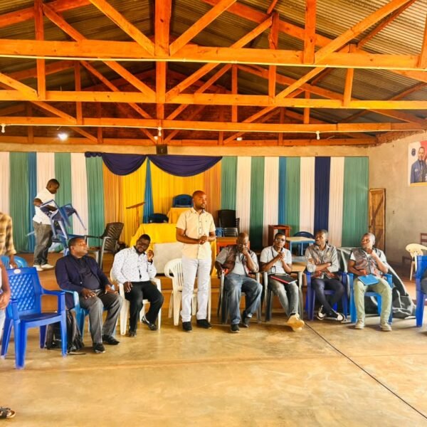
meeting in progress at Mgona
Speaking during the meeting, Gift Katsamira, Deputy Director of Planning at Lilongwe City Council, commended the approach for bringing the data-generation process directly to the community.
“I commend this project, as it puts the community at the centre of every step. This could have been done in the offices, but CCODE brought it to the community as they are the source and owners of the data produced.”
The meeting also introduced residents to the upcoming drone mapping exercise and explored how the technology would be used to support planning within Mgona. Rather than seeing mapping as a technical process happening around them, residents were given an opportunity to understand its purpose and contribute to how it would be carried out.
Young people from the community will also be trained in drone piloting, creating an opportunity for them to participate directly in the mapping process while developing practical digital skills.
The community’s response demonstrated a growing sense of ownership. One block leader, recognising the importance of ensuring that residents were informed, assured stakeholders:
“I will send a message to the traditional crawl to spread the message about the mapping at 4pm.”
It was a simple commitment, but it reflected the spirit of the initiative: information should not stop at the meeting. It should move through the community, reaching the people whose homes, experiences and knowledge will ultimately shape the data.
The boundary demarcation exercise was conducted in collaboration with Lilongwe City Council, the Department of Urban Development under the Ministry of Lands, Habitat for Humanity Malawi and the Malawi Federation of the Rural and Urban Poor. Together with the community, the stakeholders engaged in dialogue and successfully identified and marked the boundaries of Mgona.
For Mgona, this is more than preparing for a drone to take to the skies. It is about changing who participates in producing knowledge about a community and who has a voice in how that knowledge is used.
When communities help create the data that represents them, data becomes more than numbers, maps and images. It becomes a tool for ownership, planning and action.
And as the drone prepares to capture Mgona from above, the community is ensuring that its story, knowledge and reality remain at the heart of what the images will ultimately tell.

